Kavalerovsky district

Geography
The area of the area — 4 180 km ², more than 80% of its territory occupy the woods in which Siberian tiger, a snow leopard, a red deer, the Himalaya bear live. Complexity of logging in a taiga is explained by a mountainous relief of Sikhote-Alin.
Kavalerovsky district is the territory equated to the region of the Far North.
Kavalerovsky district is the territory equated to the region of the Far North.
History
- July, 1910 — the application of peasants on registration of the village of Kavalerovo is written.
- On October 13, 1910 — the village of Kavalerovo is approved and included in structure of the Margaritovsky volost.
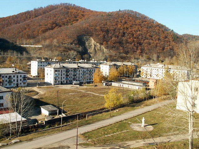
- On June 3, 1954 — Kavalerovsky district is formed as a part of Primorsky Krai by the Decree of Presidium of the Supreme Council of RSFSR of part of Tetyukhinsky district with the center in the working mining settlement of Kavalerovo and for several decades has developed in one of the most densely inhabited territories of the central Primorye.

Sights
- Kavalerovsky district has an exit to the Sea of Japan (the bay Mirror and the bay Seal adjoining on it), on the coast tourist complexes are constructed, in summertime a large number of Far Easterners comes to rest.
- Zerkalnoe Lake is especially protected natural territory of recreational assignment in Primorsky Krai.
- Obelisk to the Russian geographers on Venyukov's pass (automobile Osinovk Route — Ore Pier).
- Cave of the singing crickets
- Settlement of ancient people, states of Bohai.


The coast of the Sea of Japan and the Oak Bay


Bay Japanese woman (Japonka)

Rock of Love


